CHAPTER 01See the whole island system
How does a change on land become a question about the sea?
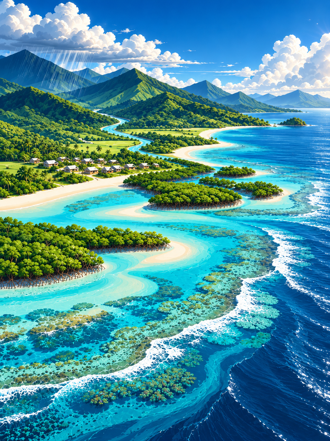
Rain falling inland becomes part of a connected watershed. It may move across soil and roads, into streams or drainage systems, through settlements, and finally into estuaries and lagoons. Where it travels, how quickly it moves and what it carries all depend on local conditions. A useful ocean lesson therefore begins well before the coastline.
Use an imaginary catchment as a teaching map. Identify higher ground, land uses, freshwater, the shore and coastal habitats. Encourage learners to draw plausible links without claiming that an arrow proves a particular cause. A carefully labelled possibility is more useful than an unsupported diagnosis.
The underlying educational skill is systems thinking: one part of a place can influence another, but that influence needs evidence before it becomes a statement about a real site. End the activity by naming observations, missing measurements and the people able to interpret them.
Try this in a learning groupInvite learners to label a fictional catchment using 'observed', 'possible' and 'requires checking'.
Key distinctionConnection is a starting question; causation must still be established.
CHAPTER 02Living habitats have different roles
Why isn't a mangrove, a seagrass meadow or a reef interchangeable?
Coastal habitats can support different species, functions and human activities. Mangroves may trap sediments and provide habitat under suitable conditions. Seagrass can support marine life and help stabilise the seabed. Coral reefs are living ecosystems shaped by temperature, water quality, species relationships and other pressures. None is guaranteed to protect every coastline.
A responsible teaching activity asks which habitat actually occurs in the selected context and what is known about its condition. Avoid generic visuals that appear to identify a real named reef. Use clearly hypothetical landscapes unless permission and appropriate documentation support a real example.
Classroom learning does not authorise touching coral, collecting wildlife, transplanting mangroves or carrying out monitoring. Those actions require locally applicable rights, permissions, expertise and methods. A responsible educator should help learners ask whom to consult before any physical action.
Try this in a learning groupCompare three habitats by functions, unknowns and required local evidence, avoiding any planting prescription.
Key distinctionHabitat benefits are context-dependent; learning is not a licence for intervention.
CHAPTER 03Read observations without overclaiming
What does one photograph, storm or unusual colour actually establish?
A photograph or a recollection can record something seen at a particular moment. It does not, by itself, establish a trend, the origin of a pollutant or the reason a habitat changed. Weather, tides, biological processes and human activities can interact, so a single explanation may be incomplete.
Teach the difference between a direct observation and an inference. Learners might describe where they saw cloudy water in an invented scenario, then list possible causes separately. Ask what other time points, local history and qualified scientific information would be needed to evaluate competing explanations.
The goal is not to dismiss community observations. Local knowledge can be extremely important, but should be represented accurately and with appropriate consent. A good educational record respects what people know, identifies what is uncertain and avoids publishing sensitive locations or personal testimony without permission.
Try this in a learning groupConvert an exaggerated environmental headline into a source-accurate description and three clarification questions.
Key distinctionCareful uncertainty strengthens, rather than weakens, useful discussion.
CHAPTER 04Know who can make a decision
What is the difference between an ocean policy and local authority?
National ocean policies and marine spatial plans can frame large-scale priorities. They may guide future regulations, administration or planning. They do not automatically give an online learning group permission to restrict access, create a protected area or undertake coastal works at a particular place.
Pacific communities may have recognised customary systems, local leadership and statutory agencies with different responsibilities. Educators should never assign customary rights from a generic chart. Instead, map roles as questions: who has legitimate decision rights, who uses the resource, who provides technical advice and which agency interprets applicable rules?
Use dated official sources precisely. An announcement that regulations are being developed is different from a legally effective regulation; a planned enforcement milestone is different from enforcement actually underway. Where published official sources conflict, record the conflict rather than quietly selecting the most convenient version.
Try this in a learning groupLead a fictional meeting in which no participant is authorised to decide the real outcome; produce a neutral questions list.
Key distinctionRespect legitimate local decision processes and avoid turning educational role-play into permission.
CHAPTER 05Everyday services affect island wellbeing
How do water, waste, schools and visitors fit within coastal learning?
Environmental education is not limited to biodiversity. Water services, drainage, waste handling, transport and school continuity affect people and may interact with land and coastal conditions. A systems map can show these relationships without promising that one product or structure solves every problem.
Use a fictional island village, school or resort to list everyday service questions. Where does water come from? How is rubbish handled? What changes during a cyclone or intense rain? What would local operators know that a website visitor does not? Keep the activity educational rather than prescribing real infrastructure.
Community priorities require legitimate local input and specialist assessment. An online example is not evidence that a named town has a problem or that Apollo has delivered a solution. The value of the lesson is helping learners identify the right questions and a responsible route to answers.
Try this in a learning groupCreate a service-and-coast relationship map that identifies at least three authorities or responsible operators to consult.
Key distinctionResilience is about interconnected human and ecological systems, not a single installation.
CHAPTER 06Finish with a useful learning record
How can an educator report what learners did without inventing environmental results?
An educator can reasonably record a session's learning objective, resources used, understanding questions and follow-up topics under the institution's own policies. A website download shows a resource was requested; it does not show that anyone taught a class or that environmental conditions improved.
Invite learners to explain one relationship, identify one uncertainty and say where accountable information should come from. Use anonymous paper reflections or locally governed materials. Do not send names, grades, sensitive cultural details or private observations to Apollo through public worksheets.
Further claims require stronger evidence. A verified school using a guide is different from a pupil reading a page, and both are different from measured reef health. Real-world environmental outcomes call for independent, locally authorised evaluation rather than assumptions about what educational exposure achieved.
Try this in a learning groupPrepare a short source list and three-question learning exit ticket for the educator to retain locally.
Key distinctionReport what is documented, and keep environmental outcomes separate from educational activity.