
SEABED & CORRIDOR SURVEY
Side-Scan Sonar Survey Packages
Project-supply pathways for side-scan sonar transducers and supporting vessel or unmanned-platform integration. Survey quality depends on navigation, altitude, tow or mounting geometry and data processing.
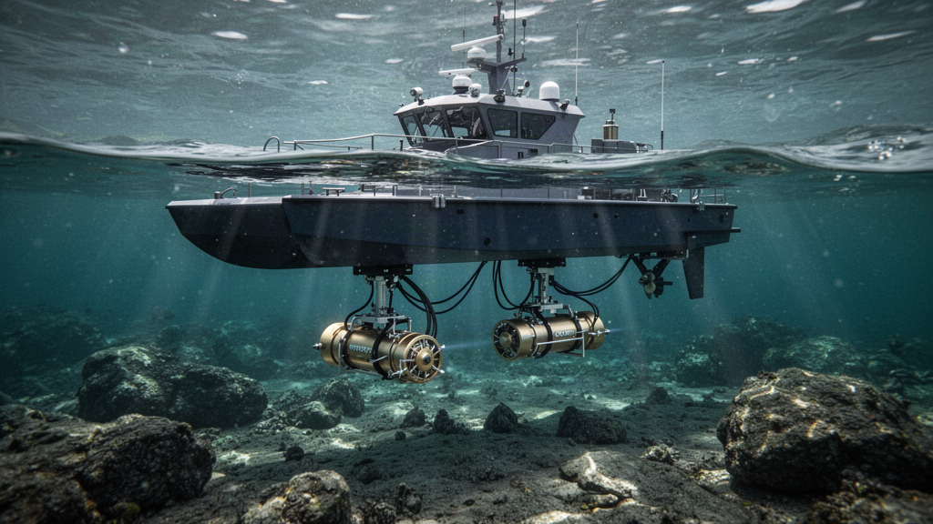
SYSTEM COMPONENTS
Scope a usable equipment package.
Indicative elements for engineering discussion, not a bundled or immediately available product offer.
Suitable survey vessel, USV or other host supplied or nominated by project
Navigation, time sync, mounting or towing accessories
Acquisition, recording and survey-processing software
APPLICATIONS
Built around a defined inspection mission.
Equipment is selected against working depth, environmental conditions, host/platform compatibility and expected survey deliverables.
Nearshore seabed reconnaissance
Harbour, channel and cable corridor surveys
Marine environmental investigation
PROJECT PROCUREMENT BRIEF
Information that leads to a useful quotation.
Unknown details can be marked “To be confirmed”. Our team coordinates supply enquiries and manufacturer documentation; qualified local teams conduct the technical work.
Seabed target size, swath and required imaging resolution
Survey depth, altitude, speed and marine environment
Carrier mounting, positioning accuracy and line planning
Required data formats, reporting standards and survey operator
Documentation and safe deployment
Side-scan imagery does not by itself establish hydrographic depth accuracy · Survey calibration and suitable georeferencing · Software, export formats and host integration confirmation. Specific makes, models, depth ratings, acoustic performance, supply rights and warranties must be confirmed with the actual manufacturer. ABYRVON supplies equipment only; it does not perform site operations, installation or certification.
OTHER SYSTEM PACKAGES