Built Intelligence · Architecture & Specification · VARNYTH / VORDAEN
Methane Detection Drones: Understanding UAV Gas Surveys for Pipelines and Energy Facilities
Methane monitoring is a priority for many oil, gas and industrial operators because emissions can indicate lost product, environmental impact or an equipment defect. Drone-based methane detection can help examine selected facilities and infrastructure from the air, especially where access is difficult. But the result depends on measurement physics, weather, survey design and confirmation—not simply attaching a sensor to a drone.
Apollo NZ Global EditorialPublished 2026-11-10Project intelligence
Final product selection, technical documentation and local approval requirements are assessed for each project.
01
What aerial methane surveys can and cannot do
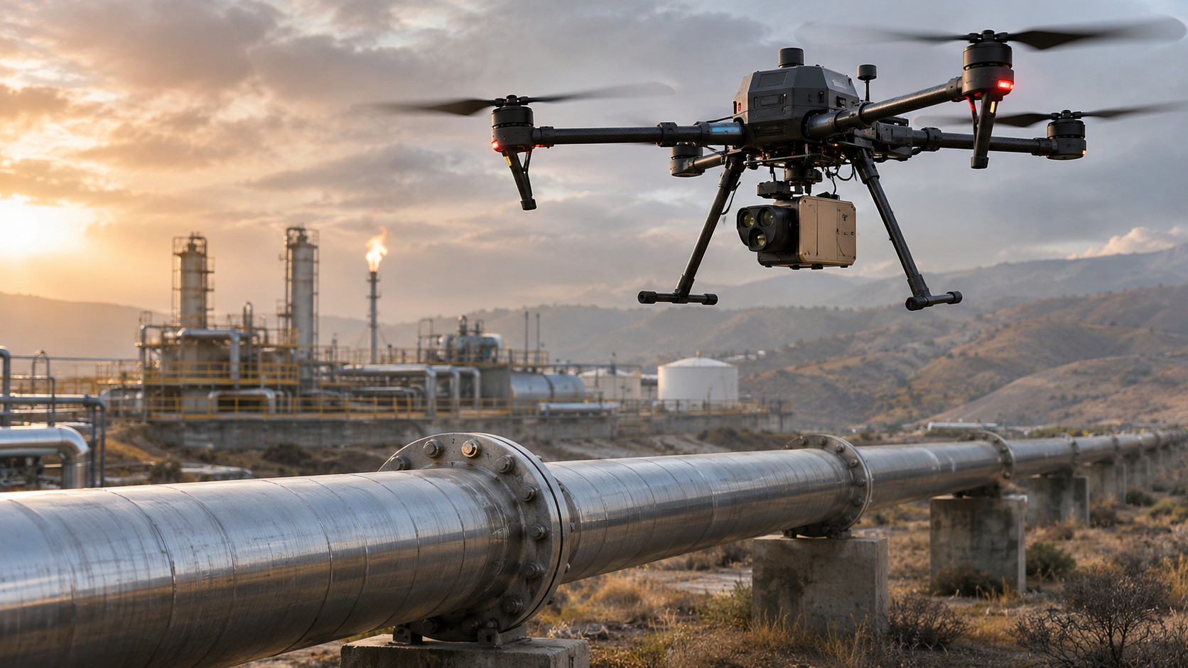
An aircraft can move a methane sensor past valves, elevated pipework, storage installations and portions of a pipeline corridor. Surveys can identify suspect locations that need follow-up. They may also form part of a wider programme using fixed monitors, ground teams and other remote-sensing systems.
A positive detection is not automatically a verified leak source. Wind can transport methane away from its origin and other nearby emitters can complicate interpretation. Survey procedures must define both detection objectives and how exceptions will be checked.
02
TDLAS, optical gas imaging and measurement units
Tunable diode laser absorption spectroscopy, commonly abbreviated TDLAS, examines how light is absorbed by methane along a measurement path. Some instruments report path-integrated concentration in ppm·m. That measurement is not interchangeable with a simple ambient concentration in ppm.
Optical gas imaging can help visualise certain plumes but is not necessarily a direct measurement of emission rate. Quantifying a release may require additional flow, wind and atmospheric analysis or an independent measurement method. Evaluate each device’s detection range, sampling response and validation evidence.
03
Choosing drone and methane payload together
Check payload mass, centre of gravity, mount compatibility, aircraft power, sensor field of view, communication interface and GPS/RTK metadata. A small payload might integrate with several platforms while other sensing methods demand a specialised aircraft or flight geometry.
Ask whether the supplier is providing a complete unmanned aircraft system, a sensor-only module or an integration project. Calibration equipment, software, training, mission planning and data interpretation must be explicitly included or excluded.
04
Designing a useful survey
Agree the asset list, flight altitude and standoff constraints, transect pattern, wind limits, detection threshold, background measurement, repeat pass method and acceptance criteria. Collect sensor logs alongside location, time, weather and equipment status.
A survey report should distinguish a detection, an inferred source location and a confirmed repair finding. Repeatability and traceability are essential where observations feed maintenance decisions or environmental reporting.
05
Safe operations and regulatory relevance
Industrial sites may have airspace restrictions, hazardous zones, ignition-source requirements or controlled operations. Flying near pipelines and energy infrastructure also requires site permission and a suitable risk assessment. Operators must follow relevant aircraft and site regulations.
Do not assume aerial surveys alone satisfy a particular methane monitoring regulation. Requirements vary by jurisdiction and may prescribe methods, records or follow-up inspection. Confirm the compliance pathway with the responsible local specialist.
06
Procurement requirements for gas detection projects
Provide the target gas, infrastructure type, geographic region, mission area, desired sensitivity, available aircraft, wind conditions, data format and whether a payload or integrated solution is needed. Include the method for verifying detections and any applicable regulation or standard.
VARNYTH and VORDAEN can consider airborne sensing and energy-infrastructure project enquiries. Named manufacturers, aircraft compatibility, certifications and advertised sensitivity must be confirmed for the exact offered equipment.
07
Frequently asked questions
Can a methane drone tell the exact leakage rate? Not automatically. Detecting methane and estimating a mass emission rate are separate tasks; quantification needs an appropriate method and supporting data.
Is ppm·m the same as ppm? No. ppm·m is a path-integrated measure. It should not be described as a point concentration without a validated conversion method.
Are methane detection payloads universal across drones? No. Mechanical fit, power, interfaces, supported software, safe flight configuration and approvals all need checking for each combination.
Essential site functions work without analytics. With your permission, Apollo measures which products and project pages are useful. Analytics stays off unless you allow it.