01Different users require different weather data
A vineyard managing frost or disease pressure may need local temperature, humidity, leaf wetness, rainfall and wind data. A construction site may prioritise wind speed, gust records and alarm handling. A research programme may need carefully specified accuracy, metadata and traceability.
Identify the primary decision, acceptable error, sampling interval, reporting format and operational consequences of missing a reading. This helps distinguish a practical farm station from a higher-grade research-grade observing installation.
The sensors and what they measure
Core measurements frequently include air temperature, relative humidity, atmospheric pressure, wind speed and direction, precipitation and solar radiation. More specialised packages may include soil moisture, soil temperature, ultraviolet radiation, leaf wetness or visibility, depending on the purpose.
Each sensor has technical trade-offs. For example, tipping-bucket rain gauges have limitations during intense rainfall or where precipitation is not liquid; ultrasonic wind sensors avoid moving mechanical cups but have their own installation and maintenance requirements. Compare methods and standards rather than relying on one accuracy number.
Why siting and mounting heights matter
Nearby roofs, trees, paved ground, walls and hills can make measurements unrepresentative. Wind measurements are particularly sensitive to obstructions and mounting arrangements. Temperature and humidity sensors require suitable radiation shielding and exposure.
Document station coordinates, altitude, surface type, orientation, sensor heights and nearby obstacles. The World Meteorological Organization’s Guide to Instruments and Methods of Observation is an important reference for professional observation methods and quality assurance.
Power and communications in remote locations
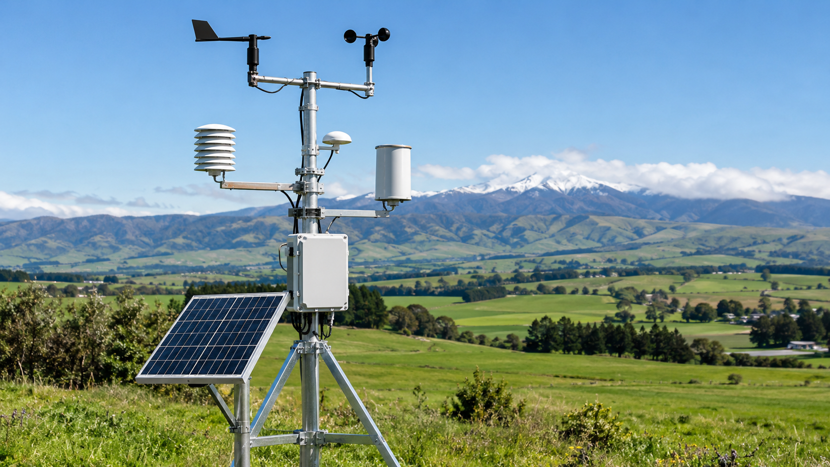
Solar-powered automatic weather stations can serve locations without grid electricity if the power system is sized for expected consumption and worst-case sunlight. Include sensor heaters where relevant, telemetry demand, battery aging and seasonal variation.
Communications may use cellular, radio, satellite or local retrieval. Check buffer capacity, timestamp accuracy, alarm delivery, transmission interval and ownership of the data. A dashboard must not conceal missing data or unverified sensor readings.
Calibration, maintenance and trust
Specify the calibration or verification procedure for each sensor, a documented replacement process and a defined approach to quality flags. A weather dataset needs consistent units, local time or UTC handling, missing-data notation and a description of how averages or gusts are calculated.
Routine maintenance can include cleaning rain gauges, checking cable glands, assessing corrosion, maintaining solar panels and examining sensors for physical deterioration. A robust programme treats maintenance records as part of the dataset.
What to send for a weather station quotation
Share the country and site setting, intended application, measured variables, required accuracy or standard, network size, data access requirements, interval, power options, connectivity, exposure challenges and maintenance plan.
METRAVYR can evaluate professional weather monitoring equipment for wholesale and project supply. Final configuration, performance and deployment requirements must be confirmed with manufacturers and local technical providers.
Frequently asked questions
What is the difference between a personal and professional weather station? The distinction is not only sensor count. Professional applications often demand documented measurement performance, known exposure, reliable records, maintenance and calibrated equipment.
Can an automatic station run on solar power? Yes, with an appropriately sized energy budget and site-specific assessment of battery autonomy and seasonal sunlight.
What is the most common cause of poor observations? Inadequate siting and maintenance are frequent contributors. Even a capable instrument can produce misleading data if exposed to nearby obstacles, heat or contamination.